Background:
During the week of March 18th – 22nd, 2024, the Ministry of Health Rwanda, in collaboration with UiO through Climate Health Regional Implementer and HISP Rwanda, initiated the integration of climate data into the national HMIS/DHIS2 instance. This initiative follows a national stakeholder meeting held in Kigali from February 4th to 8th, 2024, which resolved to enhance climate data access for public health planning in Rwanda.
This effort aligns with the ongoing work of the HISP Centre at the University of Oslo to improve the DHIS2 platform’s support for the climate resilience of national health systems. The Centre has developed tools enabling countries to integrate global climate data from the ERA5-Land dataset via the Google Earth Engine into the platform, which HISP Rwanda and other HISP groups are helping to pilot with national stakeholders. The HISP network is also currently exploring ways to work with national meteorological institutions to equally integrate local data to complement global data and develop modelling and prediction tools for the early warning system component.
To kick-start this work, the Ministry of Health, under the leadership and guidance of the Head of Planning, M&E, and Health Financing Department and Digitalisation Directorate integrated climate data into the National HMIS/DHIS2 instance. The Digitalisation Directorate collaborated closely with the UiO team and HISP Rwanda during a 5-day technical engagement to embark on this work.
Activities and accomplishments
During this period, significant progress was made in the implementation of the DHIS2 for Climate & Health initiative. The DHIS2 Climate Data app was successfully installed and configured on the production instance, incorporating essential components such as the Google Earth engine key setup and metadata creation. Subsequently, daily global climate data for 452 organization units spanning national, provincial, district, and sector levels was imported from January 1, 2022, to February 1, 2024. Additionally, a dashboard was developed to triangulate climate and malaria incidence, providing valuable insights on the patterns. Moreover, the missing boundary coordinates at the national level were addressed, facilitating the upload of climate data at this level. Furthermore, a half-day orientation session was conducted to familiarize HISP Rwanda teams and MOH staff with the initiative. Lastly, short meetings were held with MOH, Malaria Program and Rwanda Meteorology IT teams to present and demonstrate the app, paving the way for collaboration in data enhancement efforts.
Refinement needed for the DHIS2 Climate Data App
Improvements are needed in the bulk import process for climate data, which proved time-consuming and error-prone when importing two years’ worth of data for 452 organization units. Some organisation units lack min and max temperature data, highlighting data quality or problem in the process of data extraction for these variables. It was also evident that the current climate data only extends until February 1, 2024, with data from February 2024 onwards missing, needing clarification on the data’s time scope. There is also a desire for additional variables like air quality data, and normal values for temperature and precipitation that are not currently imported although previewed. Lastly, enhancing the tool to incorporate integrating of local data sources would further streamline climate DHIS2 for climate app. We will continue working with all stakeholders in Rwanda to explore the use of DHIS2 for Climate & Health.
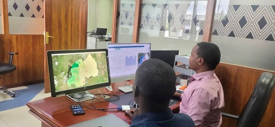
Developing Visualizations based on triangulated Climate and Health data
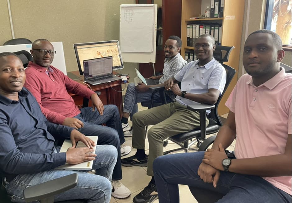
Orientation of HISP Rwanda team and MOH Digitalisation team
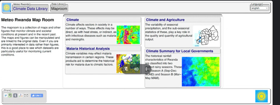
Meteo Rwanda Map Room http://maproom.meteorwanda.gov.rw/maproom/