Hi,
I am using version 2.30 and build revision fbc583d of DHIS2. I have been working on uploading GML files to establish boundary lines for my Maps but have repeatedly come up with the same error when doing this.
I followed the instructions found here: Import GIS coordinates (OrgUnits) · LogicalOutcomes/DHIS2-FAQ Wiki · GitHub but when I go to upload the completed GML files, the screen I see is as shown:
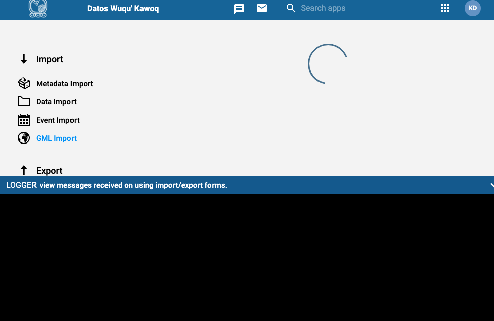
There is no error message or stack tracing to identify what the issue is with uploading. Do you have any recommendations?